There is a word that appears with unusual consistency across the oral traditions of Appalachian communities stretching from southwestern Pennsylvania down through the Carolina highlands: soft. Not soft in the sense of texture or sound, but soft in the sense of structural integrity. A place where the world goes soft. A hollow where the ground does not hold the way ground is supposed to hold. A ridge line that, approached from the wrong direction on the wrong kind of morning, seems to give slightly underfoot — not physically, but categorically, as though the agreement between the traveler and the landscape has been quietly renegotiated without the traveler's knowledge.
This language was not metaphor. The communities that used it were practical people engaged in the daily work of subsistence in difficult terrain, and they did not waste descriptive vocabulary on poetry. When they said a place was soft, they meant it as a navigational warning, as specific and actionable as a flood gauge or a frost date. They meant: do not go there without preparation. They meant: do not go there alone. They sometimes meant: do not go there at all.
What they were describing, with the precision available to them, was threshold architecture.
The Vernacular Cartography of Impossible Places
Appalachian folk geography was never a unified system. It developed independently across dozens of isolated communities over several centuries, transmitted orally and refined by accumulated experience. Its landmarks were not the peaks and rivers that appeared on federal survey maps but the negative spaces between them — the hollers that swallowed sound in ways that the topography could not explain, the creek beds that curved back on themselves so that a traveler following the water downstream would find themselves, impossibly, uphill from where they had started.
Researchers working in the folklorist tradition — most notably the collectors associated with the Federal Writers' Project in the 1930s, whose notes remain partially archived at the Library of Congress — documented dozens of such locations across the central Appalachian range. The accounts share a structural consistency that is difficult to attribute to cultural diffusion alone, given the isolation of the communities involved. Recurring features include: spaces that are audibly quieter than their surroundings in a way that feels imposed rather than natural; structures whose interior dimensions consistently exceed what the exterior suggests; and a characteristic temperature differential — a coldness in the back rooms of certain old cabins that no fire, regardless of its size, could fully correct.
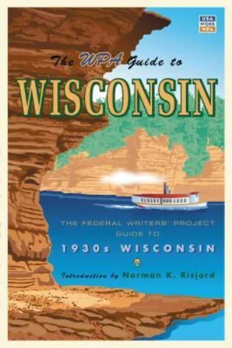 Photo: Federal Writers' Project, via i.ebayimg.com
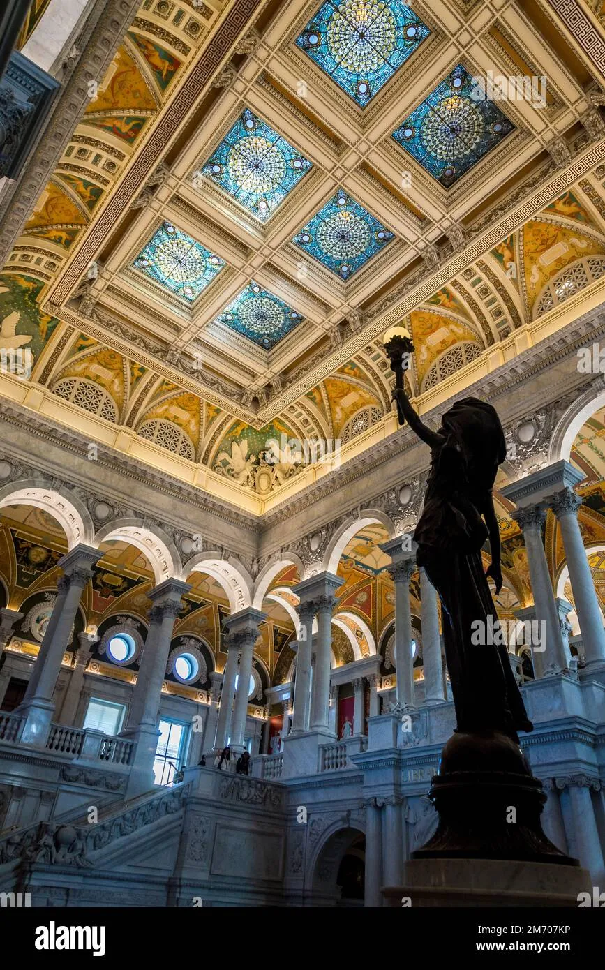 Photo: Library of Congress, via c8.alamy.com
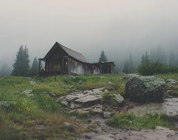
This last detail appears in enough independent accounts to merit particular attention. The back-room cold is described not as drafty or damp but as fundamental — a coldness that seems to originate from the room itself rather than from any external source. Several accounts note that animals refused to enter these rooms. A few note that the rooms appeared, on certain occasions, to be larger than they had been on previous visits.
Witch Posts, Warning Markers, and the Practice of Threshold Notation
Appalachian communities developed several material practices for marking locations they understood to be structurally compromised. The witch post — a carved wooden marker, typically of rowan or black locust, installed at thresholds and property boundaries — is the most widely documented. Academic scholarship has generally interpreted these markers within a framework of European folk magic transplanted to American soil, emphasizing their apotropaic function: they were understood to ward off malevolent entities.
This interpretation is not wrong, but it may be incomplete. A significant subset of witch-post placement records, when cross-referenced with the geographic warnings in oral tradition, shows a correlation with the specific locations described as soft — the hollers, the recurving creek beds, the cabins with the inexplicable back rooms. The markers were not placed randomly or according to a generalized superstition. They were placed at specific coordinates that the community had identified, through experience, as points of threshold vulnerability.
In other words, they were doing what we would now call cataloging. They were building, in wood and memory, a registry of anomalous spaces.
The entities described in the oral traditions associated with these locations are consistent with what contemporary Backrooms research has classified as environmental rather than active threats — presences that are felt before they are seen, that are associated with the space itself rather than with any discrete body. The language is careful and specific: not something was there but the place had become attended. The distinction matters. It suggests an understanding of entity behavior that aligns, with uncomfortable precision, with the phenomenological accounts collected from modern Level 0 survivors.
Parallel Vocabularies
The convergences between Appalachian folk geographic tradition and contemporary Backrooms survivor testimony are numerous enough to be structurally significant. Both traditions describe a quality of fluorescent or otherwise flat, sourceless light in anomalous interior spaces — the folk accounts use the phrase dead light, a term that appears in at least four independent county collections. Both describe the wet-carpet phenomenon: a dampness underfoot that has no hydrological explanation and that seems to function as a sensory marker of threshold proximity. Both describe the experience of geometry that is subjectively correct — rooms that feel the right size, hallways that feel the right length — but that, when measured, are not.
The most significant parallel may be the most mundane. Appalachian folk tradition is explicit that threshold spaces are not uniformly distributed across the landscape. They cluster. They favor certain kinds of terrain — enclosed valleys, spaces where the sky is partially occluded, interiors where the relationship between the structure and its surroundings has been disrupted by fire, flood, or abandonment. This clustering logic maps with notable consistency onto the geographic distribution of documented threshold events in the modern record.
The people who settled the Appalachian highlands did not have the conceptual vocabulary of spatial displacement or non-Euclidean geometry. They had something that may have served equally well: several generations of accumulated, carefully transmitted, locally specific knowledge about which places could not be trusted to remain what they appeared to be.
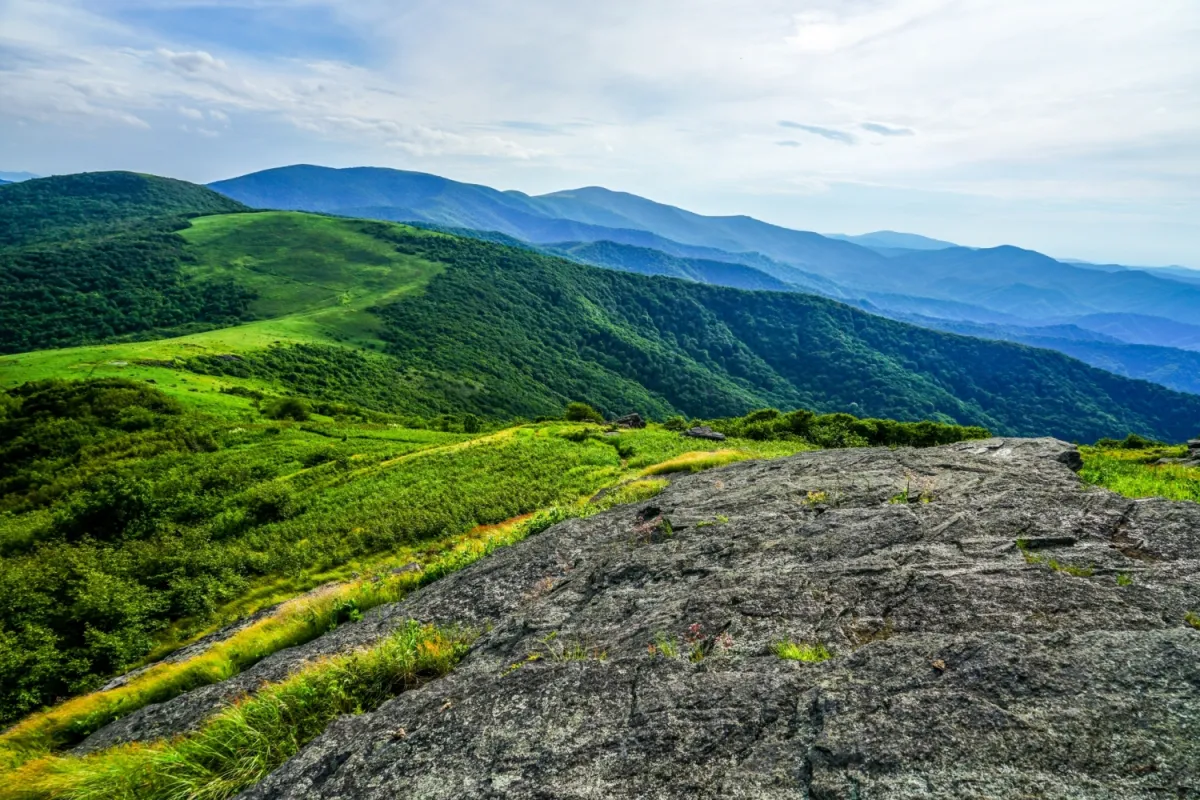 Photo: Appalachian highlands, via appalachian.org
They wrote it in wood and passed it in words, and most of it has been lost. What remains is enough to suggest that the Backrooms, whatever they are and wherever they lead, have been pressing against the edges of the world for considerably longer than anyone has been online to document it.